

Today I went out to do a bit more red-lining of the High Peaks Wilderness complex, this time coming in through Newcomb and hiking the trails around Newcomb Lake and Great Camp Santanoni. To learn more about the great camp you can go to this website, or go on a day that they have people there to show you around. Typically they do 4 weekends during the winter where you can snowshoe/ski in and have people there with hot beverages and knowledge of the camp.
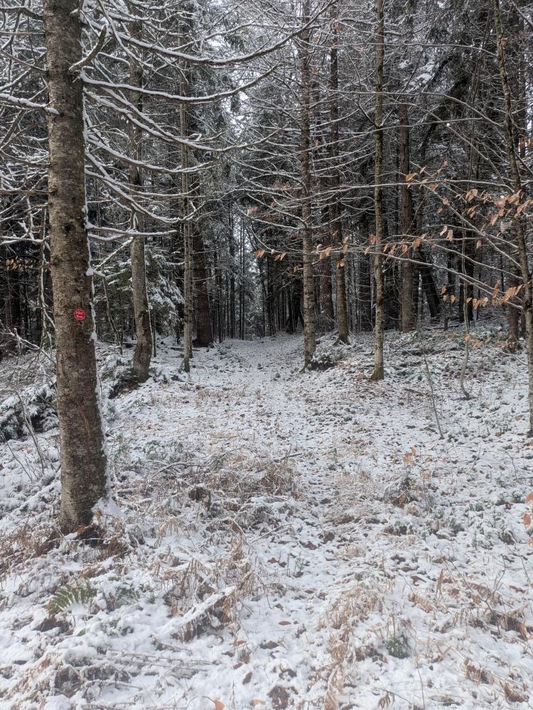
The day started off lovely, with a brisk temperature and a bit of snow on the ground. The snow amounted to about an inch, mostly on the leaves, and I decided to leave the snowshoes in the car. I didn't expect to need them, but it's always worth bringing them in the car now that we've had some measurable snow and the temps are looking to stay cold at least over night.
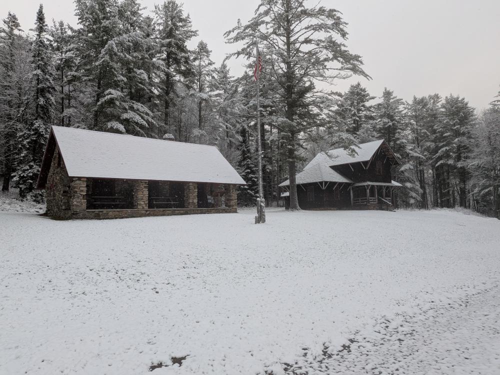
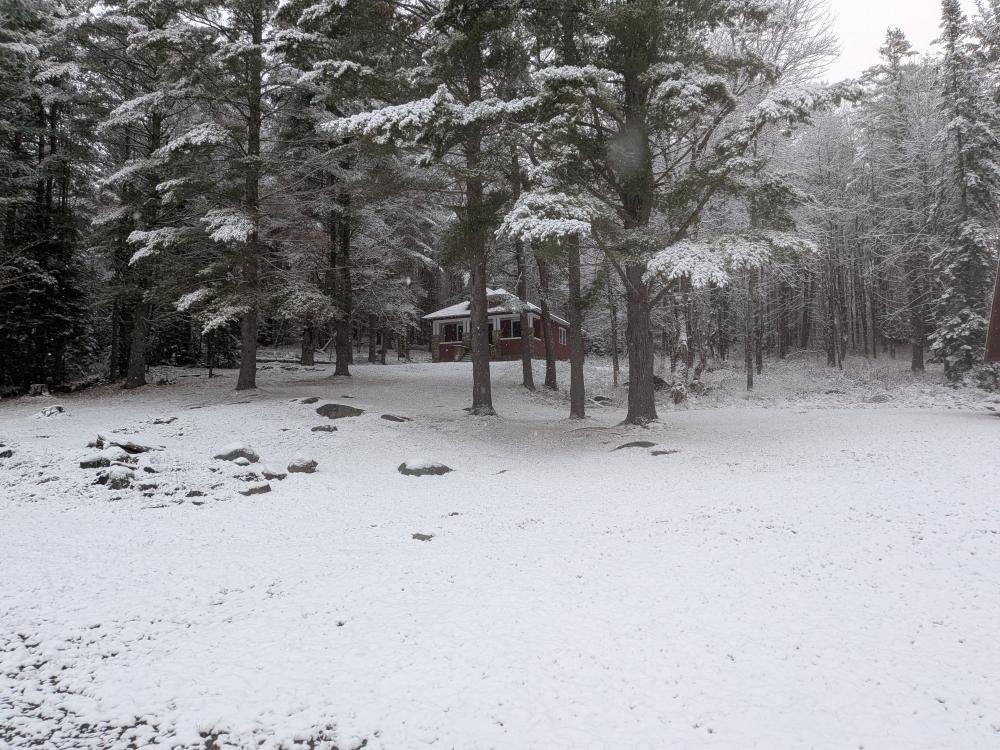
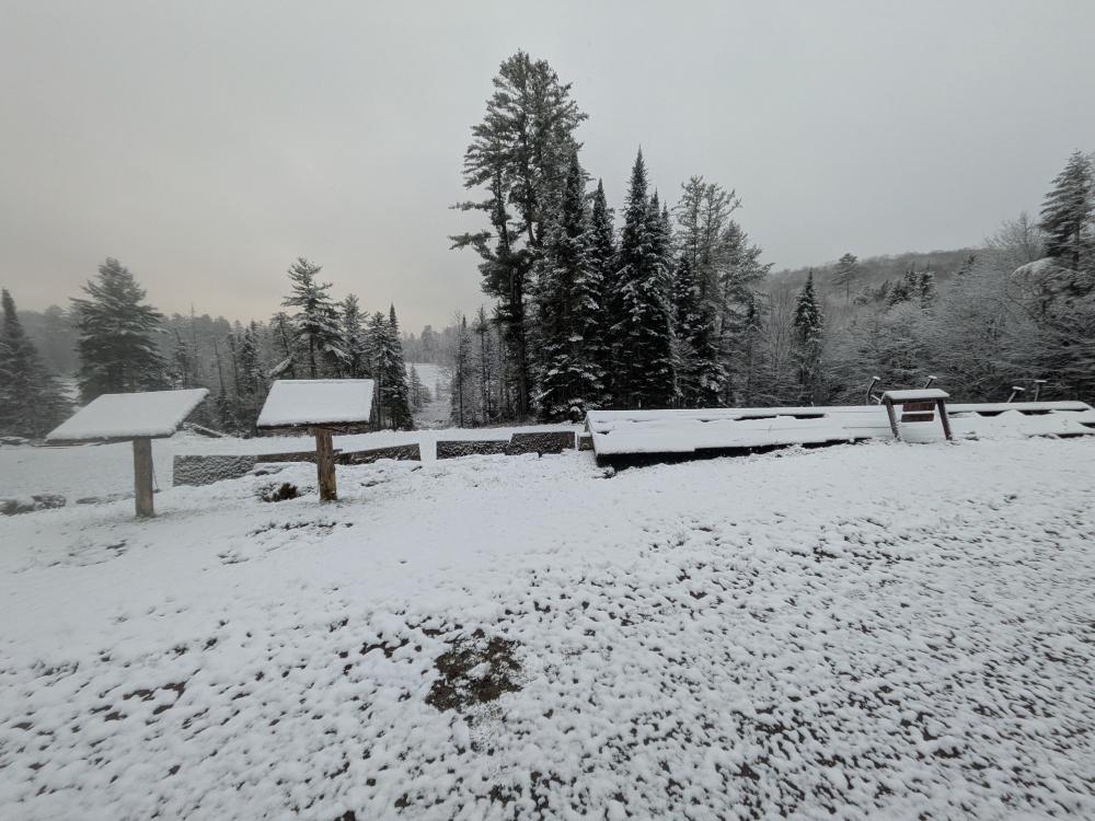
The hike in is quite pretty and very easy as it's about 5 miles of road walk. About a mile in you get to the old farm buildings. From there it's a few more miles of easy road, and you're at the bridge over the output of the lake and shortly there after you're at the camp proper. Nothing was open, and I didn't expect anything to be open, but the camp does have a few nice buildings and some good views of the lake. From the camp, it was time to get on the actual trails.
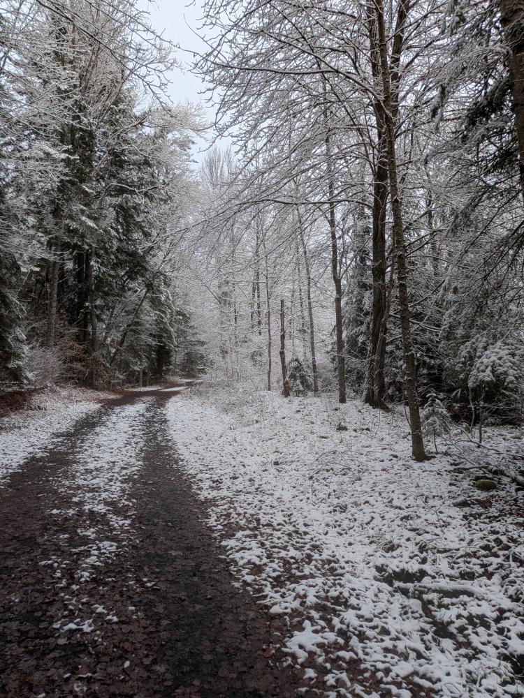
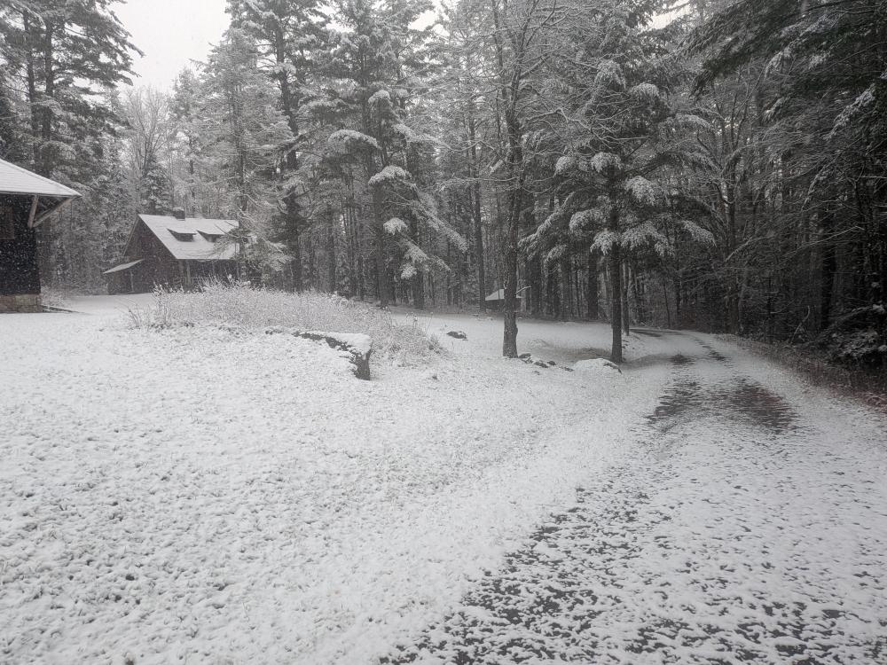
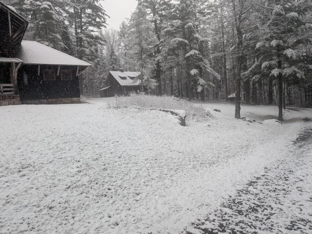
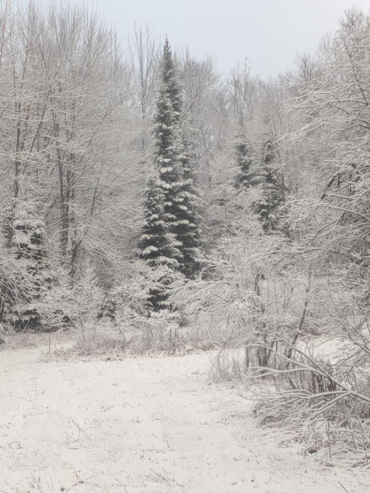
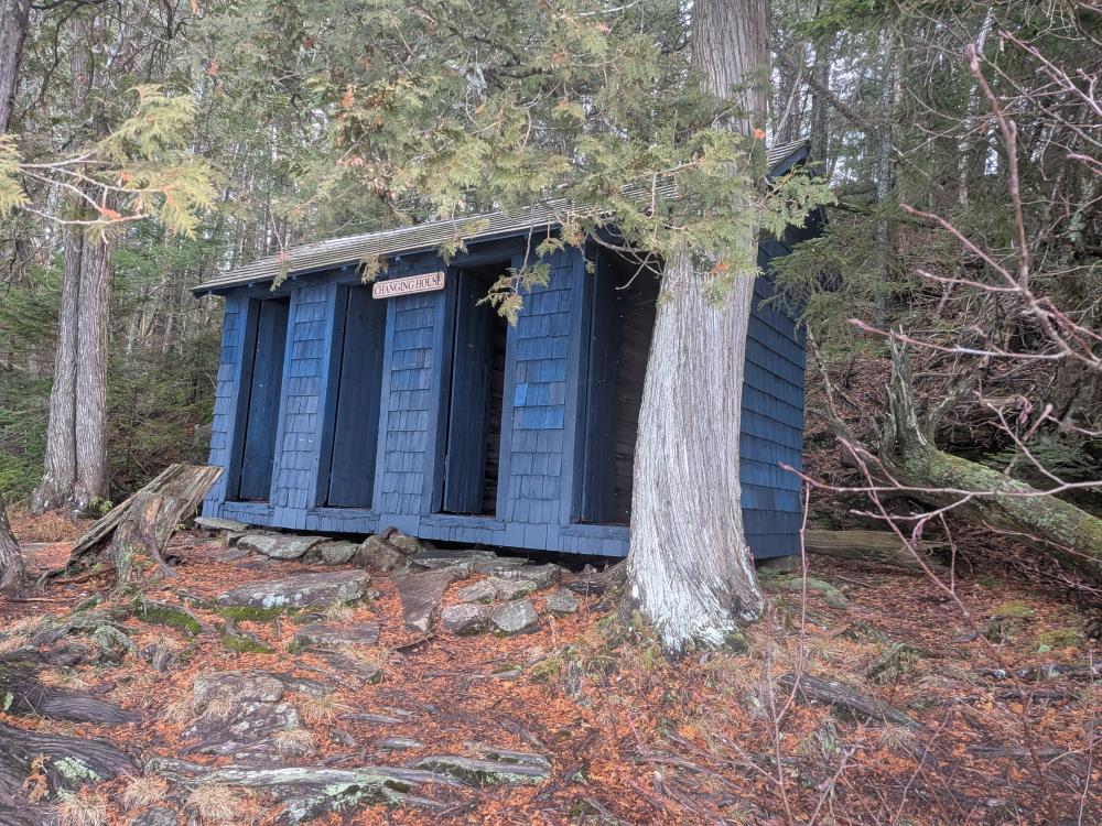
Taking the yellow trail to the north, it was initially a bit treacherous because of all the exposed roots and how slippery they are. The trail goes along the lake, past the changing rooms, and crosses a stream just past campsite 8. Weirdly, the trail markers turned red at the far side of the bridge. From here, the trail was in pretty good shape with only a couple spots of mud. That is until about 1.25 miles down the trail. You come to a stream crossing that was running high and just not crossable. Really annoying to get to such a point, but it was a relatively flat hike in so turning around.
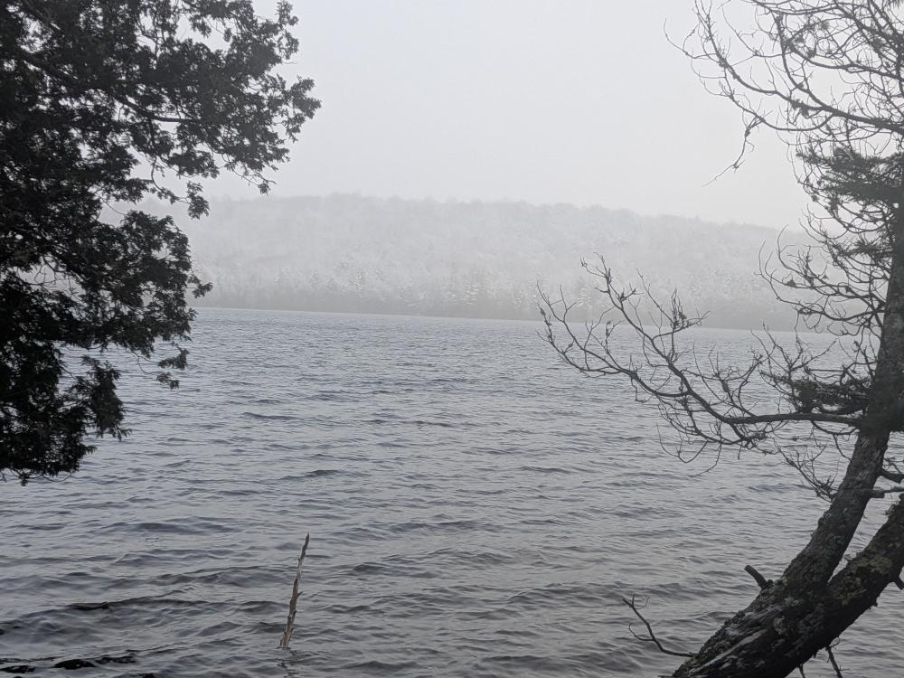
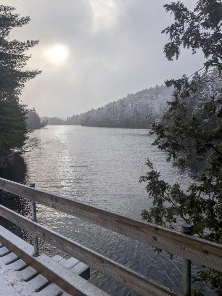
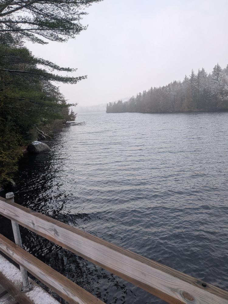
After getting back through the camp and to the south side trailhead, started in that way with the hope of getting to the other side of the stream then head back out via moose pond. I've heard that this trail was marshy, and that was an understatement. There has obviously been a lot of recent work on this trail as there was flagging and plenty of markers going around some of the worst mud. There's more to do though. I took the side trail at 1.4 miles in to look at the lean-to, and it'd be a great place to camp... but I'd prefer to get there by boat if possible. I kept going, and right as I'm about to meet up with the North side trail again, another stream that I couldn't get across.
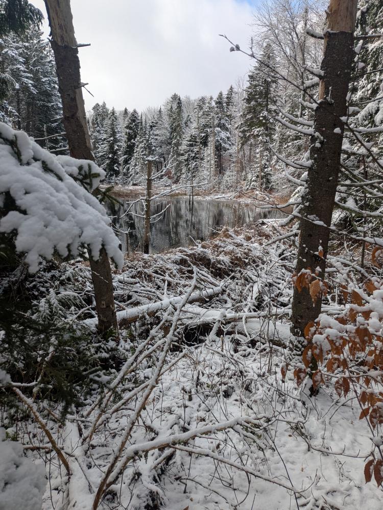
So, it was turning around a second time, and head back out. I'll have to come back and this time go in through the Moose Pond road to access the bits I'm missing. I probably will try to do that once things freeze up solid though so I can just do a big loop and get across these streams. But, it was a pretty day to be out, and it was good to refresh the skills of finding the trail when its snow covered, even if it was just an inch or two.