
Today, I went up to ADK Loj to do the MacEntyre range, and possibly add on Colden on my way out. The goal was to pick up a couple trails I haven't hiked before and get GPS traces of trails I hiked decades ago as I work on redlining the High Peaks Wilderness. I was torn between adding in the extra miles and elevation to go up Colden vs going through my favorite place in the park Avalanche Lake. Turns out the choice was made for me when I ate lunch.
I started the day in line for about 10 minutes to get into ADK Loj parking lot. That surprised me as I've never sat behind more than 1 or 2 cars. Most people know to just grab the envelope, find a spot and walk it back with money before hiking. I can understand why they are putting in a gate system if this is what has been happening all summer. The lots were about 2/3 full when I started my hike around 530.
It's been a while since I started a hike in the dark, but these were familiar trails and I knew they would go quickly. I'll break things up by trail since I did end up going a slightly unusual route. We start off with the first mile of the VanHovenberg trail. Dry as a bone, and quick to get to the trail junction. Algonquin trail up to Wright trail junction was also quite typical, but dry. I was surprised that except for a couple of the small stream crossings, it was mud free. MacEntyre falls was flowing, but it was not much more than a trickle. It really showed we need some rain.
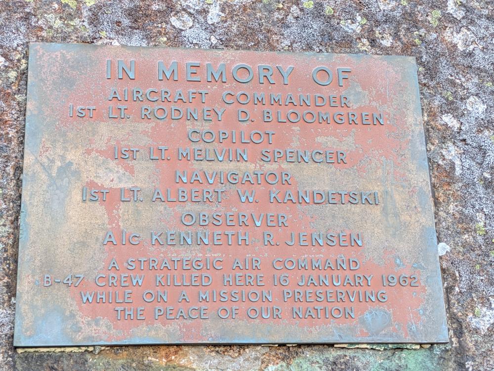
I went up Wright first when I got to the junction, and was surprised how easy it was for me. The lower slab that is always wet and always slippery was dry and grippy. I'm not sure if it was the boots, technique/experience, or just how dry things are, but I've never gotten up that trail with that ease. I was greeted above tree line with amazing views, and a couple frozen puddles. I went and saw the remaining wreckage of the 1962 B-47 bomber and then hit the peak for the first peak of the day. Getting down was just as easy as it was going up.
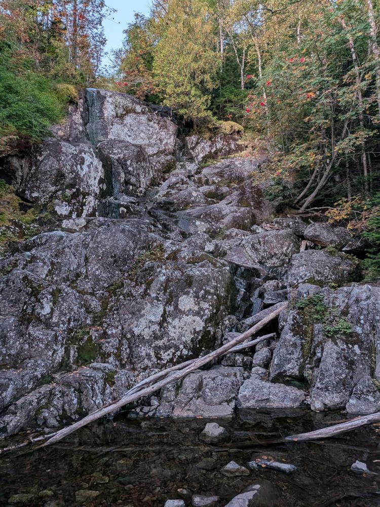
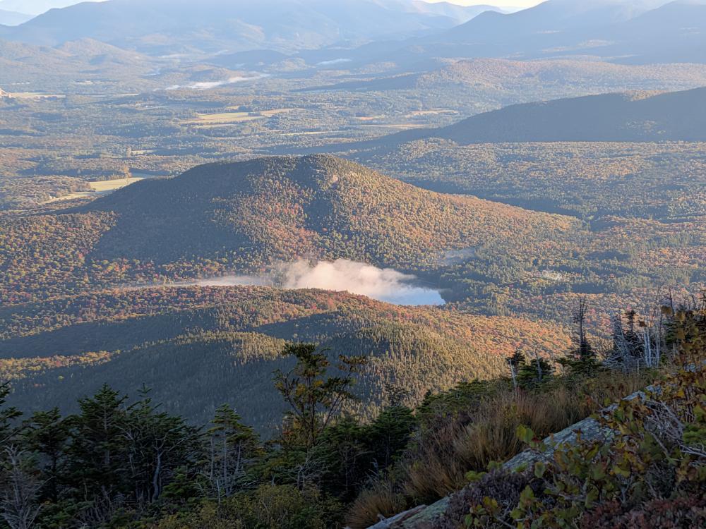

Next up was going up and over Algonquin. Again, it was quick and relatively easy for me... it was dry and the slab section was quite easy to get up. As I got above tree line, I was again greeted with ice. Nothing I couldn't side step, but this was more than just puddles, some of the runoff was also frozen. I will admit, I was on the peak about 9 AM, so things hadn't had much time to warm up and melt, and I doubt it was icy by 10 or 11. The views from here are always amazing, and today didn't disappoint.

From there I went on over to Iroquois. As typical, the trail down Algonquin was dry and easy. When I got to the start of the herd path I was surprised to find that there was a cairn built at the junction, the left arrow sign with Lake Colden written on it along with a right arrow and Iroquois written on it and a new temporary sign saying Iroquois over a right arrow. It's like the DEC realized a lot of people make a wrong turn here and miss the herd path. It's been a few years since I've done this in the summer, so I'm not sure when that all got put up, but I doubt the temporary sign was up before this spring. I don't recall seeing any of that in the winter, but then again, I didn't see more than a few inches of the trees in the winter. The herd path over to Iroquois was wet and muddy. Typical for the trail. The trail is very tight though, so be prepared to make friend with some spruces on the way in. Finally, I got a view from Iroquois. It didn't disappoint, but it felt like an accomplishment to get there and not be in the clouds.

Next up was the hike down to Lake Colden. This is known to be one of the steeper trails in the park with about a 2200 foot elevation gain over about 1.5 miles, most of that in the top mile. It's a rocky descent with a couple steep slabs and a few short ledges that I actually sat down to get down. Overall, once you're down off the top 1/2 mile, it starts to get easier, but you also find yourself walking in and along a stream for the rest of the way down. Playing the game of is it a stream or is it a trail gives the usual answer of yes, it's both. A bit of mud near the bottom, but otherwise not a horrible trail, and one I think I'd rather go up than down. There were some lovely views on the way down, and the stream is just gorgeous.
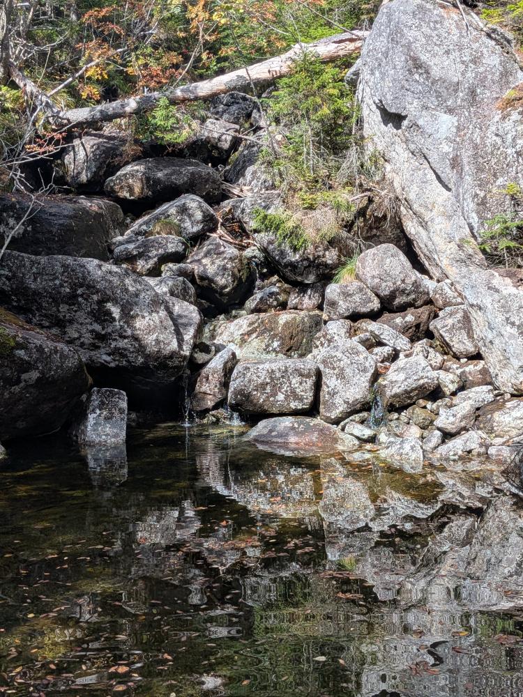
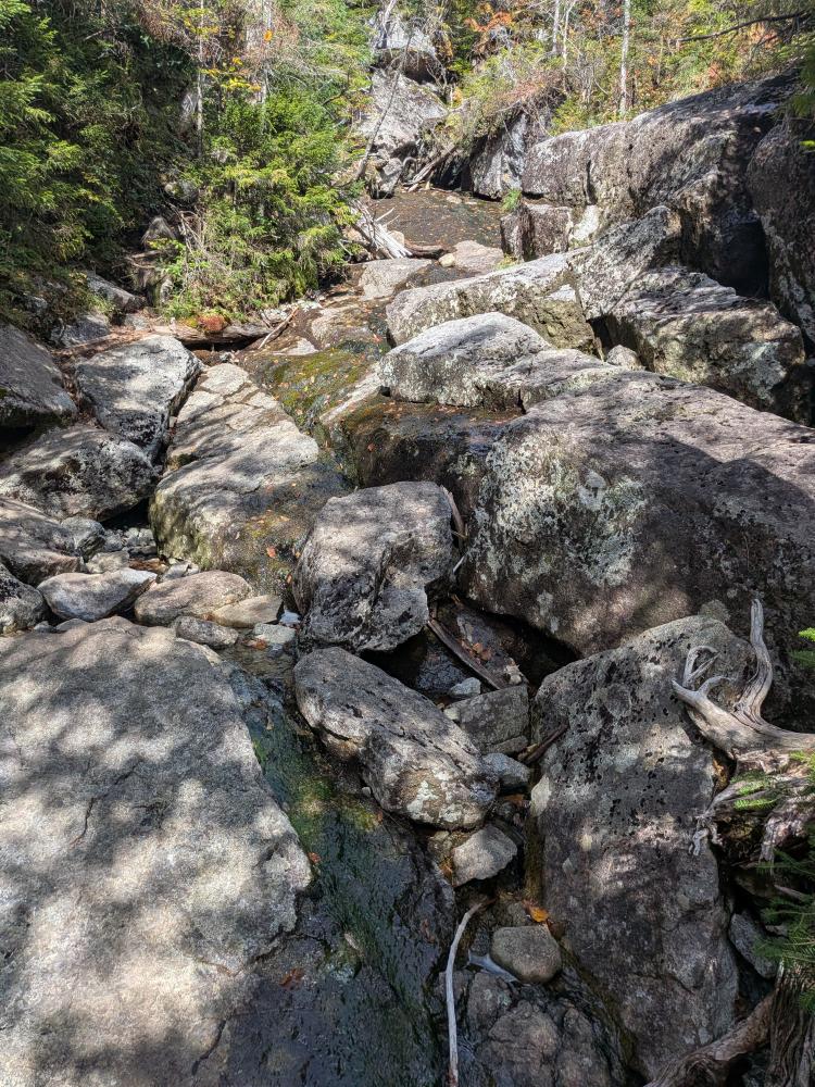
Down at Lake Colden, it was time to play cleanup for GPS traces. I headed left and went over to the Avalanche Pass trail, saw the new bridge and the tail end of the slide damage from last year, turned around and went to the dam to have lunch. After lunch I went to pump water and my pump failed. I tried some field repairs, but I think the o-ring went bad, or I got debris in the pump and did damage to the shell of the piston. That is when I made the decision to go back via Avalanche Pass instead of going over Colden. I always carry backup purification means, but I don't really like using the chemicals since they leave a taste and take 20-30 min to work. I also hike with a bladder, so that would mean that I'd have to do a thorough cleaning when I got home. I could also have boiled the water (I put the stove and pot in the pack a couple weeks ago), but I would have to wait for things to cool.... I just wanted to avoid all of that, so I started to drink water only when needed instead of whenever I stopped for a second.
So, I headed to the lake and pass taking the South/East trail around Lake Colden. This is not a great trail once you get north of the Mt. Colden turn off. There are a couple sketchy spots, and I believe one set of stairs had some of the logs moved making it a very big step. It was muddy most of the way too. All the recent trail work around Lake Colden has been on the North/West side of the lake, and that trail is wonderful. I would avoid the South/East side of the lake even if it does add a bit more distance.
Right before I got to the bridge to go on to Avalanche Pass, I saw the first slide damage. It is impressive. The dead trees that were thrown to the side and the bright white bare rock... walking across that just showed the power of nature. Not the last time I'd see that. The trail in to Avalanche Lake has had some work done, and much nicer than the last time I was on that side. The trail along the lake is same as always, and next thing you know, you're at the north end and heading in to the pass. This is where the work of the trail crews becomes extremely apparent. They have done a massive amount of work on this trail. I've never gone through it and not stepped in deep mud. It was dry.
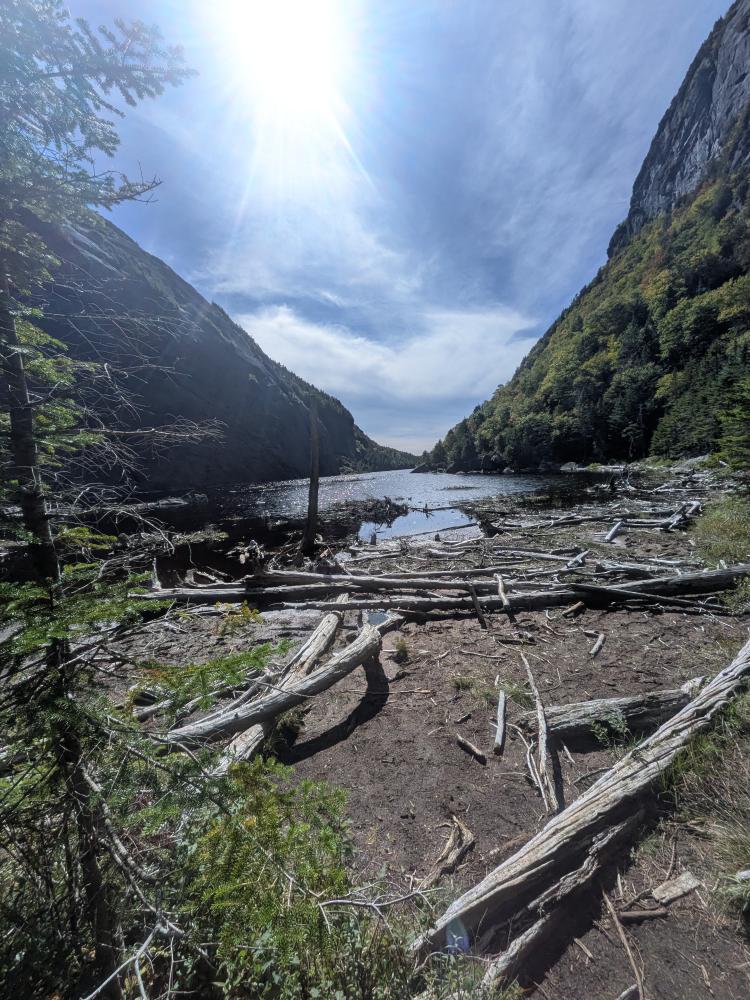
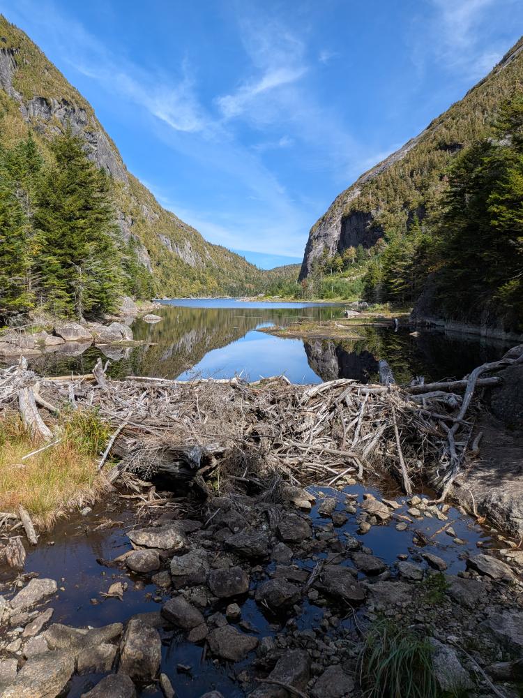
There were some re-routes involved, but the majority of it was trail hardening which is done with the crew crushing rocks that they find in the area to various sized to fill in the trail and raise it, followed by finding soil or sand in the area to fill in the trail, and humped it up so that it will settle over time and keep things dry. Then there were the hundreds of feet of drainage that was dug out to help keep the trail dry. This is a huge amount of manual labor. And then you have the bridge work and bog boards. The bridge was new thanks to the slide, and some of the bog boards were new for the same reason. A fair number of the old bog boards were replace, or appear to be ready to be replaced. Overall, I am impressed with what could be done in only a couple months. A huge thank you to everyone that worked on this.... and it's not over, I saw markings for various trail improvements all the way to the bridge just past Avalanche Camp.
That slide in the pass, which made all this work emergent (it was needed before the slide, but it was just one of thousands of needed things that need work) was impressive. It truly changes the experience, and it's truly awe inspiring. I'll never not be impressed with the power of nature. I look forward to hiking this pass in the years to come and see how the area recovers... The slide will likely never be covered in trees again, or at least not in my life time, but what happens at the bottom will be interesting.
Having gotten through the pass, the trail down to Avalanche Camp and out to Marcy Dam was dry and quick as I was expecting. After taking a quick break at Marcy Dam, I decided I would do what I originally planned and take the Whales Tale ski trail back instead of VanHovenberg. I wanted some solitude. This is a ski trail, and hiking it is not typical, and I wouldn't recommend it. As I've seen on many other ski trails I've hiked off season, there is a lot of soft, mossy soil, and a lot of mud pits. I'm not sure why this happens with ski trails, but it's not the first time I experienced it. The trail was easy to follow and it did provide solitude. I came out on the Algonquin trail and took the old Algonquin trail to the old Marcy Dam trail in to Heart Lake, finishing up my 3L bladder just as I got onto ADK property.