
I guided a group of 4 up MacNaughton from Upper Works. Going in we knew this was going to be a tough hike because there is no established herd path up the mountain. We decided to go in from the south because of my experience a month or so earlier coming in from the north. Even with the longer bushwhack (1.5 miles vs 1.0 miles), the approach was shorter, easier, and more importantly drier, less boggy, and less muddy than coming in from the north.
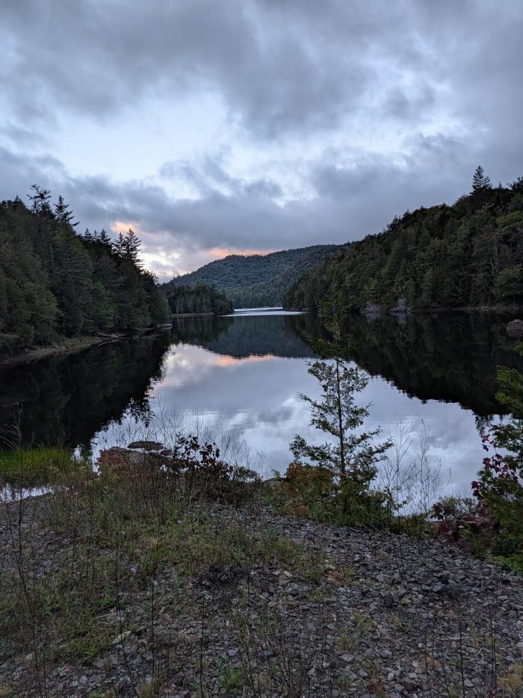
We started at Upper works and made a quick stop at the dam on Henderson Lake with the hopes that we would get a great view. It wasn't what I had hoped, there was no fog, but there was a bit of sunrise colors left in the clouds. From there, it was down Calamity and Indian pass trails until we hit the Preston Pond/Duck Hole trail. Those initial trails were in pretty good shape, and the 2 mud pits that were re-routed around, a couple of us did go through them on the way in or out, and the mud was actually not that bad, especially for the area.
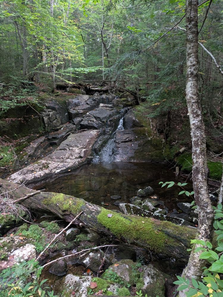
Leaving the heavily traveled trails, we headed off towards where we were going to turn off and head up. The hike in was pretty good. A little mud, a couple water crossings with mossy rocks that needed to be conscious of how we got across, but overall, a lovely trail. Be warned, the bridge at the start of the trail is missing hand rails and the far side has a big step that some had a bit of trouble getting up on the way back. There is also 1 bridge that is broken in half, another that has 1 of the 2 stringers starting to crack, but in all cases, you can ford the streams a little bit up or down stream if you need to.
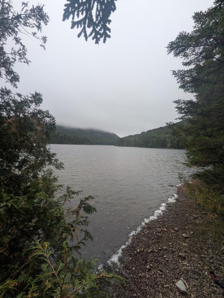
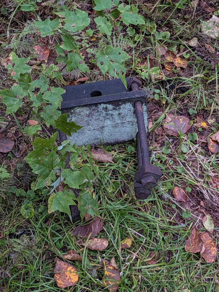
On the way in, it is well worth the side trip to see Upper Preston Pond. This is where you see the signs warning about the use of bait fish. It's only a hundred or so feet, and the view is beautiful. After that, you come upon Hunters Pond, which is my personal favorite spot along this hike. After getting the view as you first come in and the view as you're around it and about to leave it, the search for the artifact at the start of the way up began. We found a likely place to start up, but no artifact. Going down another hundred or so feet we finally found an artifact, and what looked like a potential feint herd path. We broke for snacks and water, then we started up.
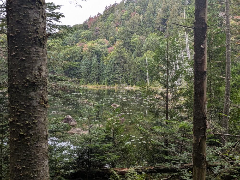
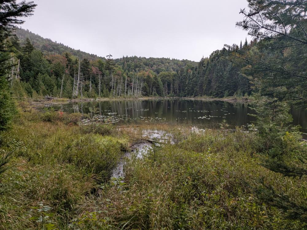
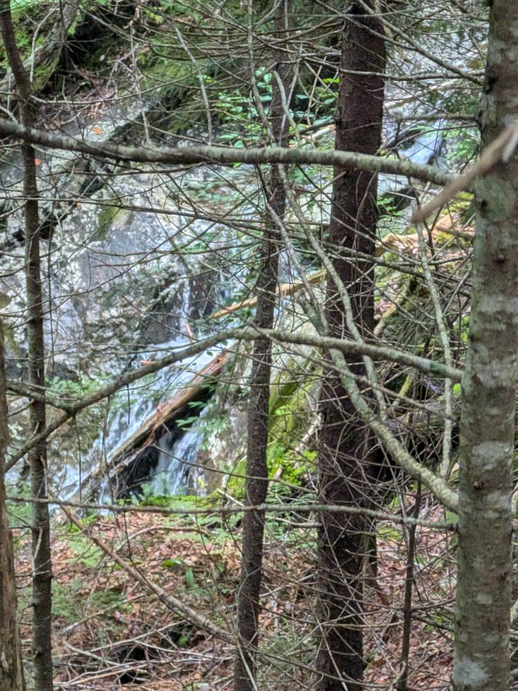
So, yes, there is a feint herd path going up this way for about the first 1/2 of the climb. In general, going up we stayed on the right side of the drainage. The herd path mostly was within sight of the stream and it was tight, but generally could be found with a little searching when it was lost. As expected this was a slow process. At about the 1/2 way point, we lost the bit of herd path that was there. Looking back at pictures, it looks like it may have crossed the stream where there was a long, low angle, slab in the drainage, but we didn't really see anything promising on the left side while we were out there. We did cross at one point where we found a full Smartwater bottle (emptied, and packed out) but that side of the drainage was dense and the right side was just easier to go up. We had some confidence we were going at least close to the right way as we had someone else's track we could follow and we were not far off of what they did.
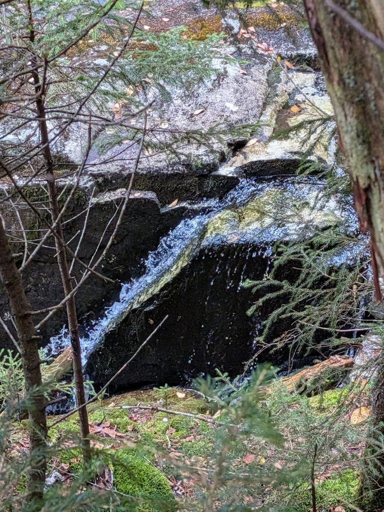
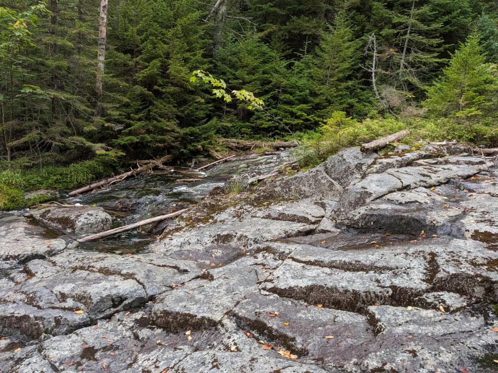
About 0.3 miles from the top, we started to get into very soft ground, and holes due to either the rocks piled up or more likely than not, just multiple decades of blow down and the dead trees forming the holes. It was slow going as we were trying to find a good path up. Unfortunately, one of us fell into one of the holes and hit their knee. We stopped, treated the knee, and decided to take our lunch break then. Discussions were had, and we decided to follow the advice most of us have given out. The mountain will be there tomorrow, make sure we are too. The other part is all but one of us know many of the rangers in the area, and none of us want to end up in the ranger reports. It sucks to turn around that close to the top, but it was the right decision. It's hard to say what would have happened if we continued on considering we were getting to what would be the steepest part of the climb. Thankfully the knee was stable but possibly bruised, and we were able to hike out without any other issues.
On the way out, I stepped on a spot that felt stable and then suddenly sunk to mid calf. The word of advice for this peak is to take it slow and be careful. There is a lot of unstable ground as you get higher up the mountain. We also of course lost the herd path as we got down towards the bottom. The GPS trace says we were 50 to 100 feet off of how we went up, thankfully closer to the trailhead. This just goes to remind us all, the terrain dictates where we go when bushwhacking. It's not all about knowing what bearing you're going to follow and following that blindly, but studying the map, reading the terrain, and knowing what land features are your handrails and backstops that will guide you on the hike.