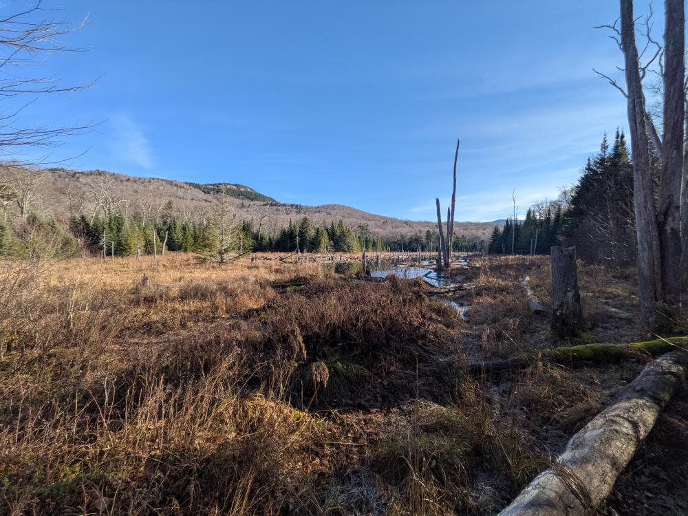
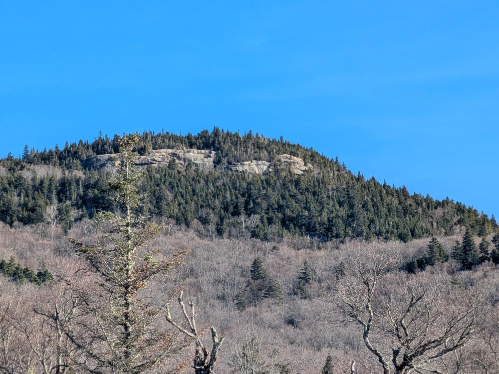
Today, I went and put on my imaginary skis and did a long loop from ADK Loj out to the MVHE trail and traversed over Mt. VanHovenberg. I was doing this because parts of the Mr. Van ski trail are within the High Peaks Wilderness, it's on the trail maps, and in the guide book. So, while it's not a required trail for the red-line challenge, for my own satisfaction, I did the trail. I would not recommend doing this trail unless you are doing something like this. As a trail to hike, it's really not great, at least for the mile or so between Loj and the Marcy Truck Trail.
So, I started on the VanHovenberg trail out of Loj, and when I saw all the signs about Mr. Van, Skis and Snowshoes required, and a new green sign that clarifies everything by saying the mountains are straight ahead, don't turn left or right here.... I turned left.
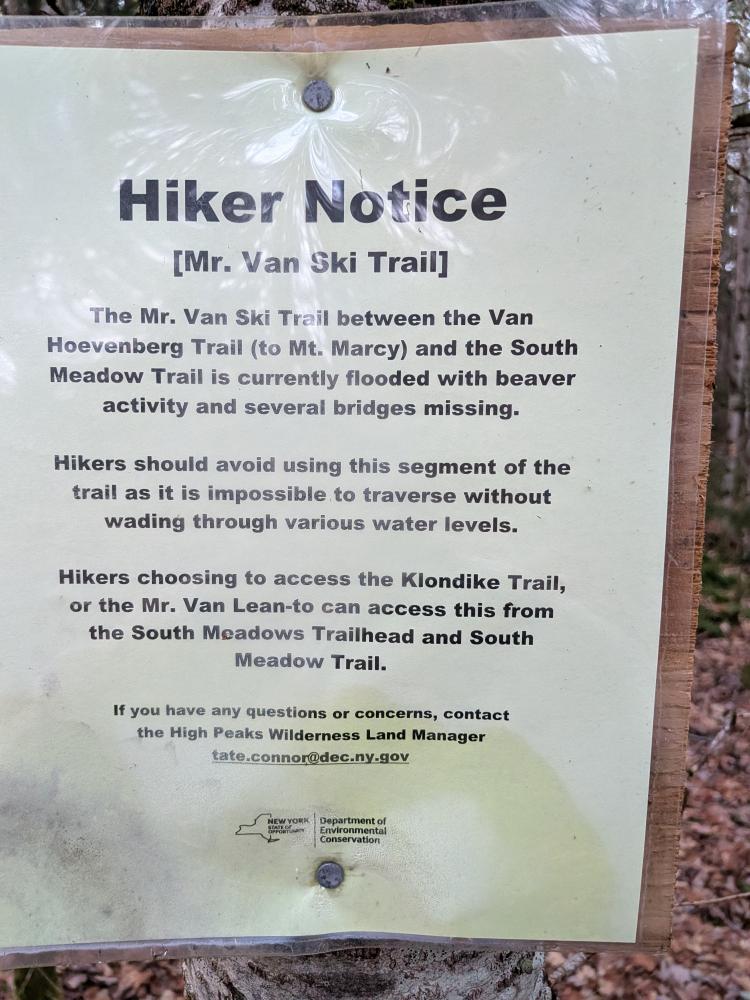
The initial part of the Mr. Van trail is quite lovely. Having hiked the mountains in winter, I've seen this trail look groomed, and the start is 5 or 6 feet wide and nice to walk on. That is until you hit the edge of Loj property. The wide trail changes to a different Loj ski trail and the Mr. Van trail goes straight, right through a bunch of low brush/blow down. From here pretty much until I got onto hiking trails, the ski trail was not much wider than a hiking trail. I didn't see any sign at Loj, but I did see a sign at the Marcy Truck Trail intersection saying that this section of Mr. Van was missing bridges, and flooded due to beaver activity, and it's advised to not hike this section. The sign is truthful. Most of the trail is decent, but then you get to the Marcy Brook and the swamp just a bit past it. The brook crossing wasn't horrible, it was low and wide with a lot of rocks to hop across on, most not stable. Then comes the deep mud and eventually a beaver dam. The dam was the best way across this section, pretty solid overall. After getting past the marshy area, more deep mud. So, about 1/4 to 1/3 mile of wet and mud here.
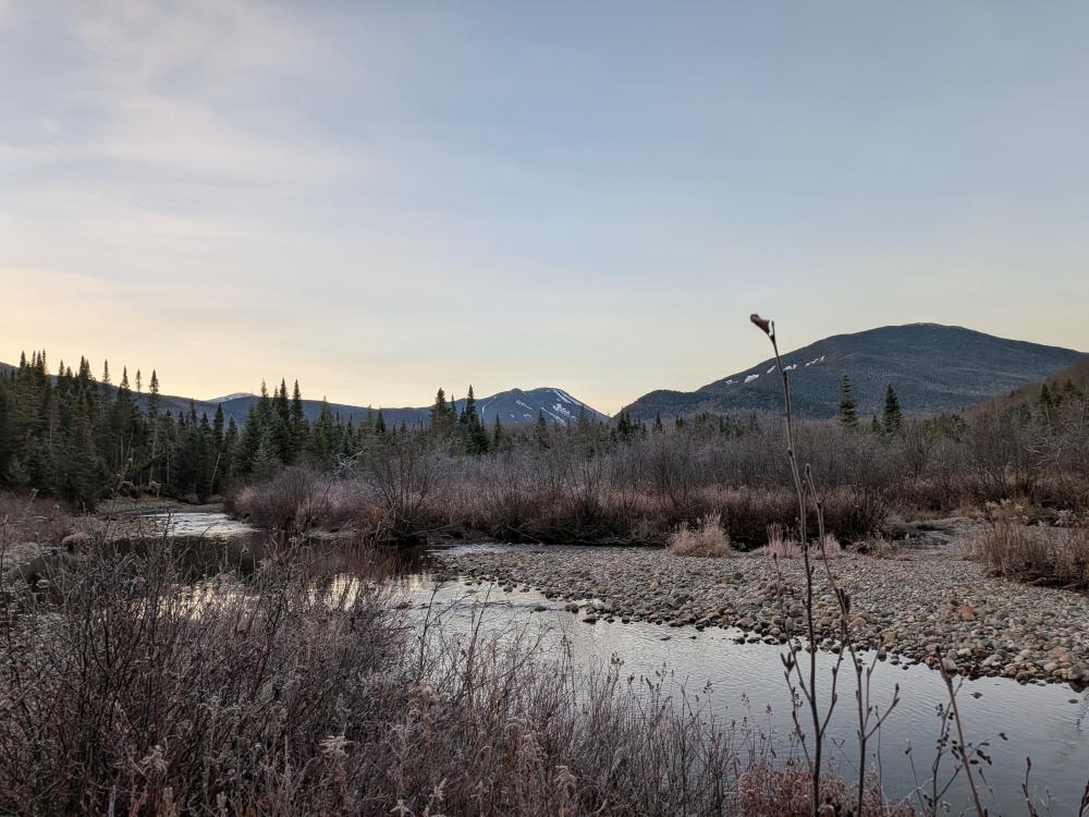
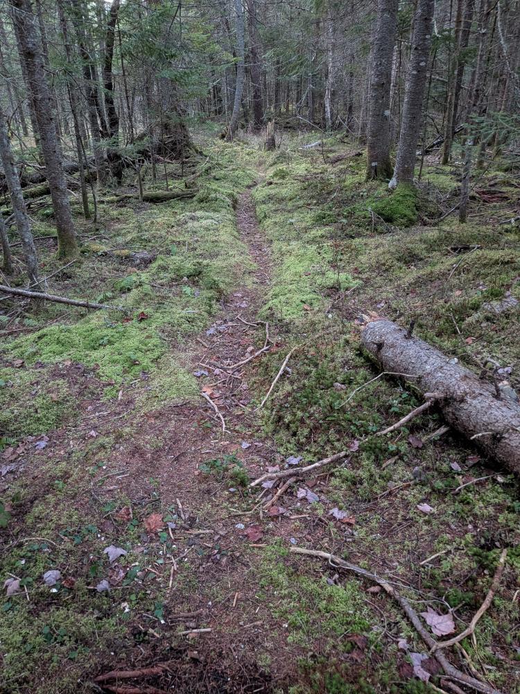
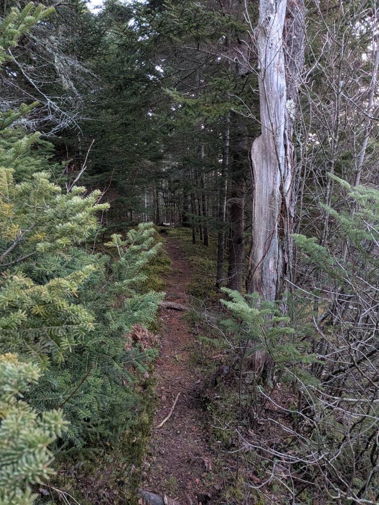
Finally getting to the Marcy Truck Trail, the next section is actually used for hiking as it's now the way to access the Klondike trail. Of course, within a few feet of getting on this trail, mud. When I planned to do this hike, I had hoped that everything would be frozen, but not snowed over yet (didn't want to ruin ski tracks)... alas, it's been a warm week. Apart from the mud at the start, it was a decent trail out to the Klondike trail.
After the trail register, it was overall a relatively unused trail for the next couple miles out to the Olympic center. A couple of bridges, one was sketchy to get across as it was slippery. There were a few patches of mud, but nothing horrible. The trail was mostly foot path wide, but there were some sections where it was wider. Next thing I knew, I saw the new Cascade trail only feet away from the ski trail. I decided to stick to the ski trail until they actually crossed a little further down the trail.
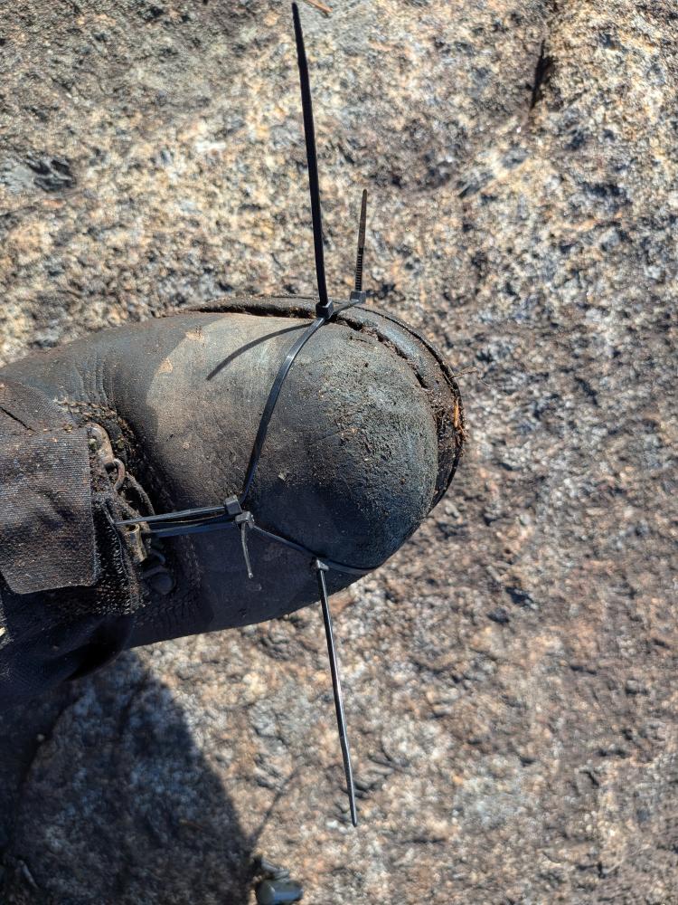
At that point, it was about 1.5 miles of improved trails between the new Cascade trail and the MVHE trail up Mt. VanHovenberg. These were both great trails. The new Cascade trail was leaf covered, so a little tricky to see all of it and it's not marked yet, but it was obvious if you stepped off of it. MVHE was leaf free, and there were a few spots of mud, but that was all under an inch deep, so nothing for the 'Daks. It was when I got to the MVHE trail that I discovered that my plans for the day had changed. My right boot's sole was starting to de-laminate. Thankfully my boots can be re-soled, and with a bit over 1000 miles on these soles, I was planning to do that anyways... but was hoping to do it during spring shoulder season. Oh well.
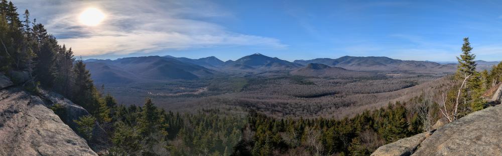
Once on top and at the ledges, I tried to improvise something with zip ties to keep my toe on, but a few hundred feet down the trail it failed, and I was just careful with how I hiked for the next 3 miles. The hike out to Meadows Ln was normal. The top mile was steep, eroded, and spots of mud. Once down, around the beaver pond, it was wet and muddy. The last mile out to the road was quite pleasant to hike. At that point, 1.2 miles of road walk back to Loj and my car.
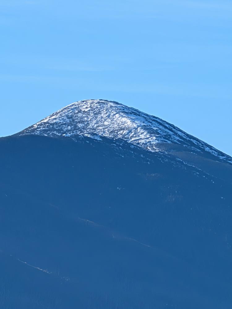
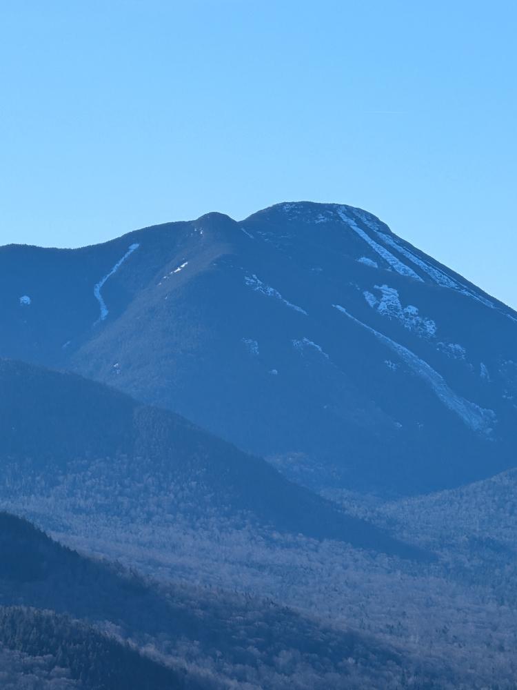
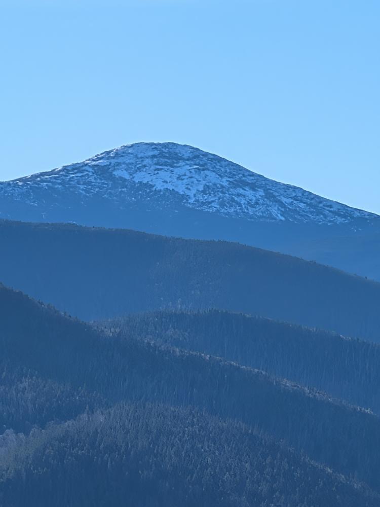
If I was to do this as a single car thru hike again, I would park on Meadows Lane and take Mr. Van from the Marcy Truck Trail. There is no need to hike that mile and change between Loj and the Marcy Truck Trail. Unless it's frozen and snow covered, I would not recommend doing it.... and then you probably should be in skis as it is a ski trail and not really wide enough for ski tracks and snowshoe tracks.