

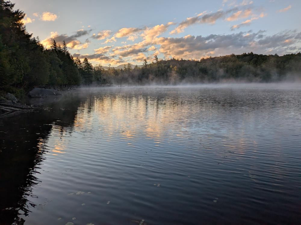
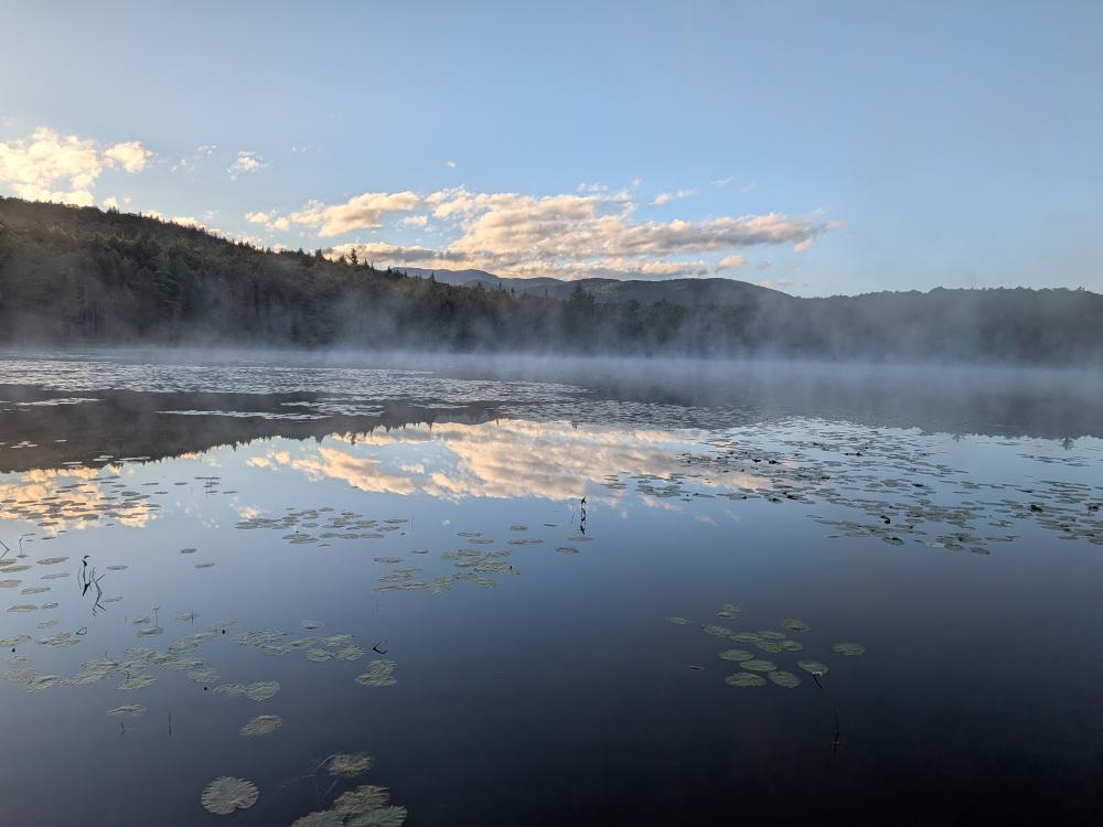
Saturday, I brought out the coconuts and pretended I was a horse as I spent most of the day on horse trails. As a part of red-lining the map, I went and explored some of the trails off of Corey's road. Started the morning parking at the Raquette Falls trailhead and headed down the road to the typical summer entrance for the Sewards. On the way down, hiked the short trails in to Rock Pond and Pickerel Pond. Both were easy to follow, and seeing the sun rising over the ponds, the fog on the ponds, and just the stillness of everything was beautiful.
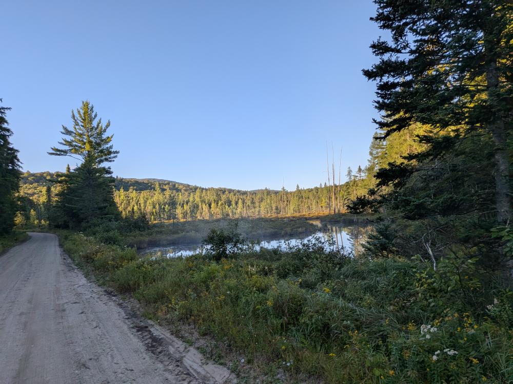
I continued down the road to the Blueberry trail and my assessment that I really wouldn't want to add that 6 miles (3 each way) on to a winter attempt is right... the road is not that bad hill wise, but it is bad enough that coming back at the end of the day it would really suck. The initial 0.7 of the Blueberry trail is in typical shape, a little mud, a tree or two to get around, nothing bad. I then turned on to the horse trail that cuts over the the Caulkins Brook Horse trail. Good thing I wasn't a horse, there are a few blow downs that a horse would have trouble with. Overall though, that trail is not in bad shape, and if you're going to/coming from the Caulkins Brook herd path and the parking area, it's probably worth it to go that way.
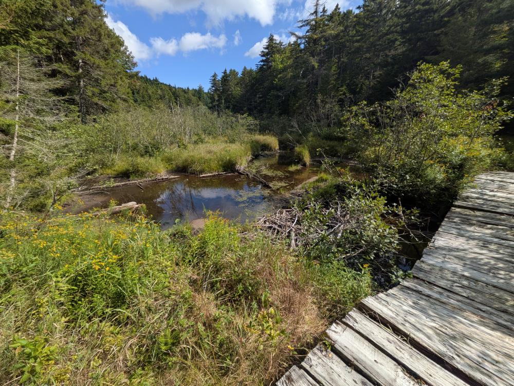
The Caulkins Brook Horse trail for the next 2.5 miles is pretty good. Past the turn off for the herd path there is a bit of wash out, but overall not bad. Then we come to the trail that connects the Raquette Falls trail and the Caulkins Brook trail, the Calkins Creek Crossover Horse Trail. I saw a sign at the intersection of the trail in to Caulkins Brook and Caulkins Brook calling it Mud Hill, but I can't find a reference to that anywhere else. Someone has shown me a similar sign since. It was appropriately named as that was the worst trail of the day. There was a lot of mud throughout the trail. It was generally thick, sticky mud, but I did sink in a few inches a few times. I could see I was not the only one to come through as there were foot prints in the mud, but they were probably a week old or older. Apart from the mud, that 3.3 miles is a beautiful hike. The DEC notice on the bridge being out is a bit misleading. The bridge that is unsafe for horses is still there (not removed in 2025 as the website states), and it's very broken but I was able to cross it. The alternative would be to use a beaver dam. I have no idea where the 2nd bridge that was washed downstream was, I saw no signs of it, and had no problem with crossing any of the streams.
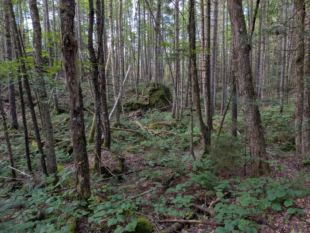
At this point, I'm on the Raquette Falls trails, and this trail sees a lot of regular use. The hike in to the interior outpost was lovely, and the hike along the river to see the falls was well worth it. This is your typical riverside trail with a lot of small up and down and rocky, not really my favorite kind of trail. It really is worth it though, the falls are gorgeous. I decided to come back using the Canoe Carry trail which was a much better trail to hike. Back at the outpost, it was a straight 4.2 miles out to the car.
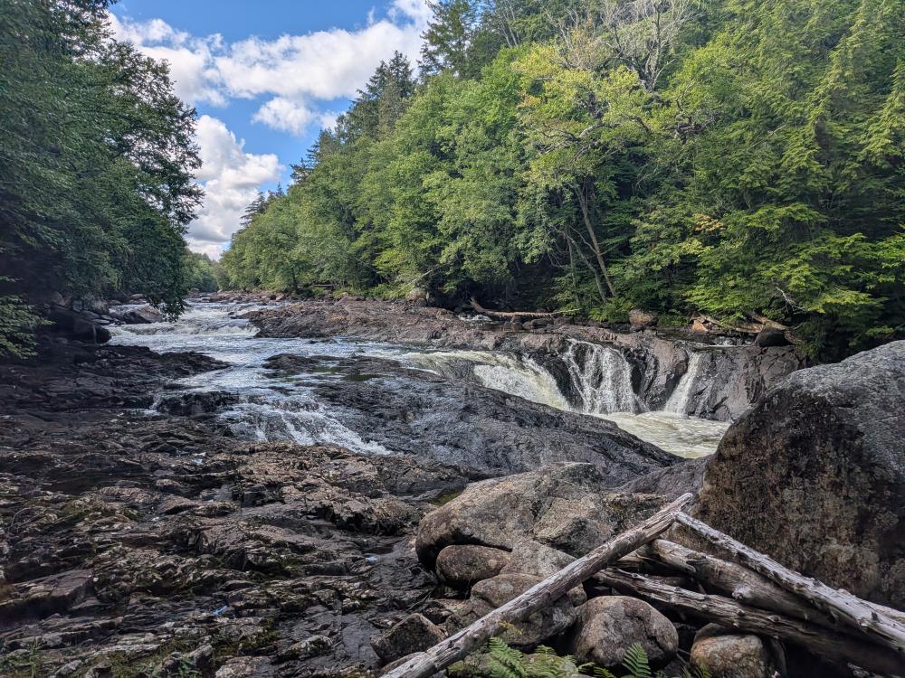
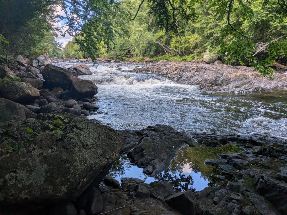
Overall, a beautiful day for a high mileage hike. Nothing was too difficult, and really only the initial hill on the crossover trail had any kind of elevation. I wouldn't recommend taking that trail anyways. It is definately worth the hike in to the falls though. That trail is relatively flat (a couple hills, but easy overall) and the falls are well worth the hike in.